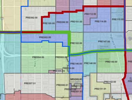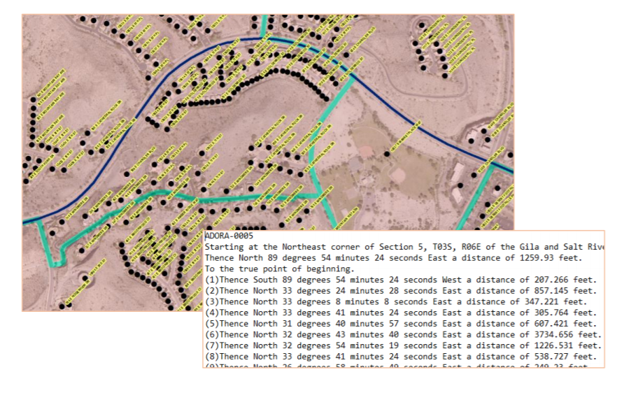
Really big decisions are about to be made in your state. Say what you want about the redistricting process, but the fact is, somebody’s going to have to put the results to work to run our future elections. And with that in mind, I've dusted off my list of observations from 10 years back, about what makes for the best set of boundaries from a standpoint of state election directors, local elections clerks, and GIOs and others supporting them with GIS.
The observations I’m sharing are based on first-hand experience in 2011-12, watching the redistricting process from a safe distance, while preparing to support the use of the new districts. During this period, Utah was one of the first states to integrate GIS-based address locations, voting unit polygons (precincts and sub/splits), aerial photography, and parcel base maps into its statewide elections management system. In addition, the Utah Legislature deployed a 'build-your-own' redistricting plan webmap, another first. As a result, GIS was front and center to the redistricting stage, exposing new users to its power and broadening their appreciation for mapping technology and authoritative data.
Oh, and keep in mind that just to make it more interesting, the Census Bureau is delaying its first 2020 census data product release -- the block-level redistricting files -- by 6 months. With the first glimpses of the 2020 count details not available until at least September 30, we are looking at a compressed redistricting process, and the local and state elections management work to implement new districts, into a few short, but hectic months. [cue up♪GNR’s “Welcome to the Jungle” here♪]


