GeoWomen Growing - We Need You
NSGIC (National States Geographic Information Council) launched the GeoWomen initiative a couple of years ago. Recently MAPPS (the U.S. national association of firms in the surveying, spatial data, and geographic information field) joined NSGIC to partner on GeoWomen.
And now we need your perspective as we work together to create meaningful programs and build an inclusive GeoWomen community with the goal of attracting more women into GIS careers and promoting women's leadership in both the public and private sectors.
We're asking you to take a few minutes to a) complete this brief survey yourself and b) share this message with other women in your organization to get their perspectives, as well. All information will be anonymized. Our deadline is May 24, 2019. Thank you for your time and insights.

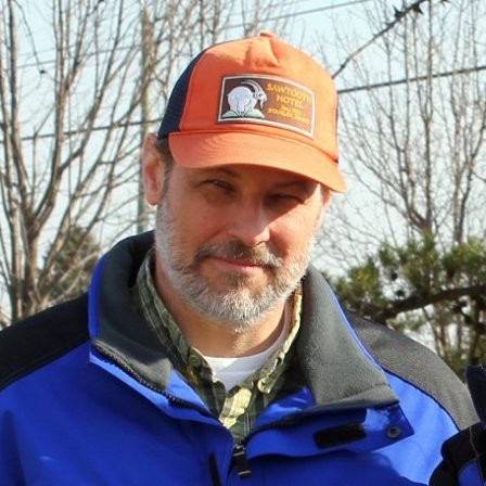 Kentucky GIS Manager Kent Anness has been working in GIS for 30 years and state government for 20 years. Anness got his start in cartography and initially used a scribe tool and darkroom methods for producing map compilations.

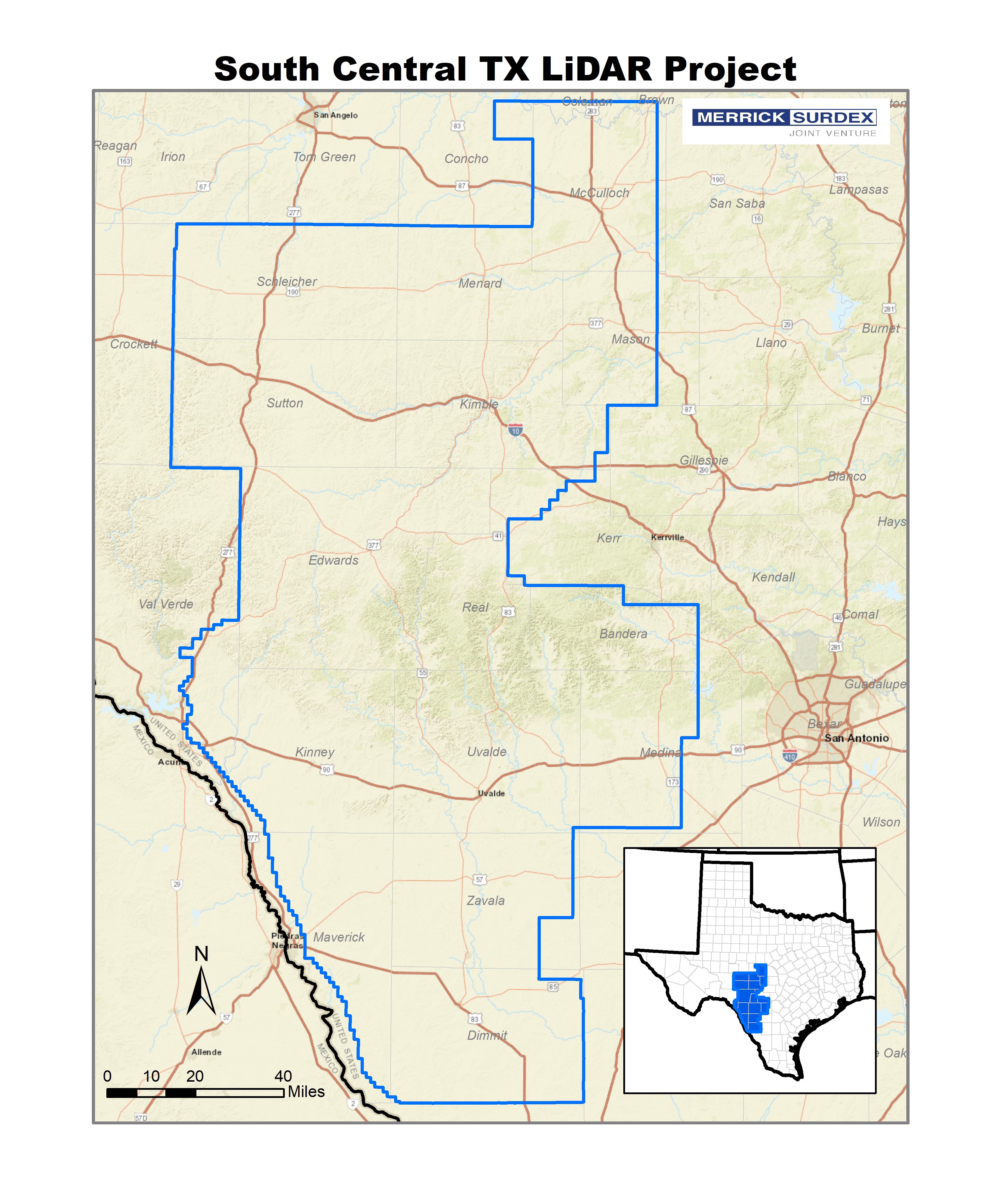 In 2017 the USGS selected the Merrick-Surdex Joint Venture to collect and process LiDAR data of approximately 17,950 square miles in Southwest Texas.