Two-year project delivers concrete guidance for how states can increase the accuracy and efficiency of elections using geographic information systems (GIS) technology
National States Geographic Information Council (NSGIC) released Best Practices for Geo-Enabling Elections, aimed at decision-makers in elections management across the nation, Monday. The guidance, developed in collaboration with ten states and subject matter experts from both elections and GIS fields, is the result of a two-year project focused on reducing election errors.
“You could say this project is about getting the right ballot to the right voter,” says Molly Schar, NSGIC’s executive director. “Even in a democracy as old as ours, this doesn’t always happen. Voters are occasionally placed in the wrong voting district by mistake, and then given the wrong ballot. As a result, unfortunately, election results are questioned, sometimes with legal battles and expensive election do-overs as a consequence. Strengthening the accuracy and efficiency of our electoral system, on the other hand, will ultimately increase voters’ confidence that their voices are being heard.”
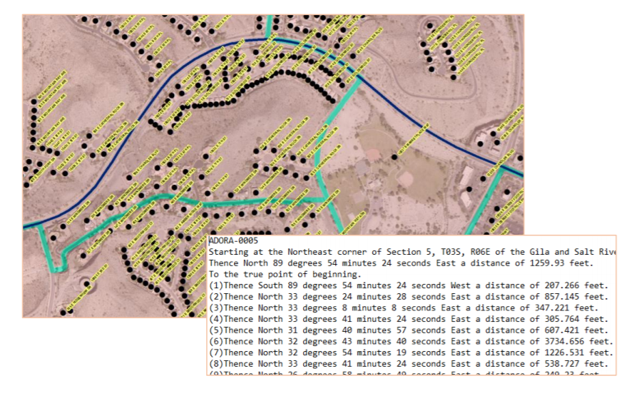
Geospatial technology is a solution to the problem of voters being accidentally assigned to the wrong voting district. In the same way that many of us use maps on our phones to navigate to unfamiliar locations, election authorities can “pin” voters on electronic maps, and thereby ensure voters are automatically allocated to the right voting districts or precincts and given the right ballot to vote. The technology becomes particularly valuable when voting district boundaries are redrawn, such as after the upcoming 2020 Census. With voters as“pins” on a digital map, digital renditions of the new district boundaries can simply be overlaid over those pins,and voters automatically sorted into the right district.