You have, I am sure, seen the Latin phrase carpe diem, which translates literally to “seize the day.” In modern usage, carpe diem is sometimes equated to “living in the moment,” taking pleasure in the here and now without regard for the future, and occasionally even an ode to hedonism. But the more important definition, in my opinion, is to take a chance, to go above and beyond what might be expected, to take full advantage of an opportunity, to stretch yourself in pursuit of the issue before you right now. This is a credo that I can embrace, and with the clarity of hindsight, I now recognize that it has been a recurring theme in the best examples of GIS projects I’ve had the good fortune to be involved with over the years.
I’ll venture a guess that Latin scholars won’t like this, but I would like to offer a twist on carpe diem as it applies to those of us in the GIS profession: carpe geo, seize the GIS opportunity. I was honored to be the closing keynote speaker at the Utah Geographic Information Council conference in Park City this year, and I introduced carpe geo as part of my talk. It seemed to resonate well with the audience, well enough to embolden me to write this blog post to circulate it further.
Consider for a moment how most GIS projects start. How many times have you been presented with a complete and clear set of requirements that translate directly to the GIS-based analytics you need to perform to reach a well-articulated outcome? My guess is that your answer is “never.” That would also be my honest answer, and I’m basing mine on more than 32 years in this field.


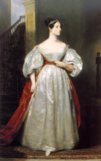 Augusta Ada King, Countess of Lovelace (December 10, 1815 - November 27, 1852) was the only child of the poet Lord Byron and his wife Anne Isabella Byron. Byron separated from his wife a month after Ada was born and left England forever four months later. Ada's mother remained bitter at Lord Byron and promoted Ada's interest in mathematics and logic in an effort to prevent her from following in her father’s footsteps.
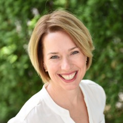 Holly St. Clair, chief digital officer for the Commonwealth of Massachusetts, will deliver the keynote address to kick off the 2017 Annual Conference of the National States Geographic Information Council (NSGIC) on September 26 in Providence, RI.
 National States Geographic Information Council