
Counting People: Census, Redistricting & Elections Management
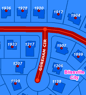
Besides funding, the US Census Bureau determines the fundamental building blocks from which boundaries are redrawn for each state and local elected office. The smallest geographic unit for which population is tabulated by the Census Bureau is called, fittingly, a "census block." Nationwide, there were nearly 1,155,500 census blocks for the US, including Puerto Rico, in 2010. Voting precincts (the unit at which election results are reported) are also constructed from census blocks. Accurate blocks, that follow local boundary lines directly impacts the formation of districts for elected officials and our ability to efficiently conduct elections and report the results. For the many states and local governments already using GIS in their elections systems, it is still very important to get updated data to the census prior to 2020. It's in every state's best interest to achieve a complete count in the next census. And, it's in each state's interest to do their part to support delineating the best census blocks. Complete and accurate state geospatial data resources can be a great asset to complete count effort. Critical map layers sought from states by the Census Bureau to plan and otherwise prepare for census day include much of the framework GIS data that is created and used by states and local government:
Visit the addresses and transportation resources page in our library. |
 Increasingly, national-level programs are implemented by state governments. And for an estimated 140 programs, the amount of federal funding transferred to states is linked directly to the decennial census statistics. Dividing the total budget by census count, than national average of federal funds allocated based on census population and other data is almost $1500 (2007).