
State Spotlight: Kentucky
Category: GIS in States
Apr
08
Kent Anness
GIS Manager, Kentucky Office of Technology
Interviewed by Sheila Steffenson

 Kentucky GIS Manager Kent Anness has been working in GIS for 30 years and state government for 20 years. Anness got his start in cartography and initially used a scribe tool and darkroom methods for producing map compilations.
Anness says that over the past 20 years, not only has the technology grown, but the accessibility of enterprise GIS has grown as well, allowing for an increased number of users within state government. According to Anness, newer generations see even greater value in the technology.


 The Department of Technology and Information (DTI) nominated Kim Cloud for the Delaware Award for Excellence and Commitment in State Service because of her outstanding state service and ongoing commitment to DTI. Kim has worked at DTI since July 19, 2004, and has spent her tenure as a software engineer for the Application Delivery team. Kim’s passion is working with geospatial data (location-based data) and GIS software and tools, i.e. FirstMap, which is a GIS solution that provides a centralized repository and enables users to maintain and analyze spatial data.

 So for the goal of working more with UGIC, I didn't feel like anybody needed much persuasion. Rather, it was about making it easier to connect and participate. And to make that easier, we started by upgrading from individual-level NSGIC membership to the State Leaders 5-person membership package. By doing so, we added 4 Utah members, a mix of other state agency GIS managers and
 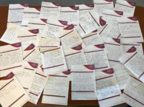 At a State Caucus session during NSGIC’s Annual Conference in Indianapolis last October, we conducted a completely impromptu exercise that produced some interesting, important information. The game was pretty simple. Take one of the ubiquitous hotel notepads and fill in the blank: “What I need most from NSGIC is _______.”