 Workshop Outcomes
Steering Group Workshop
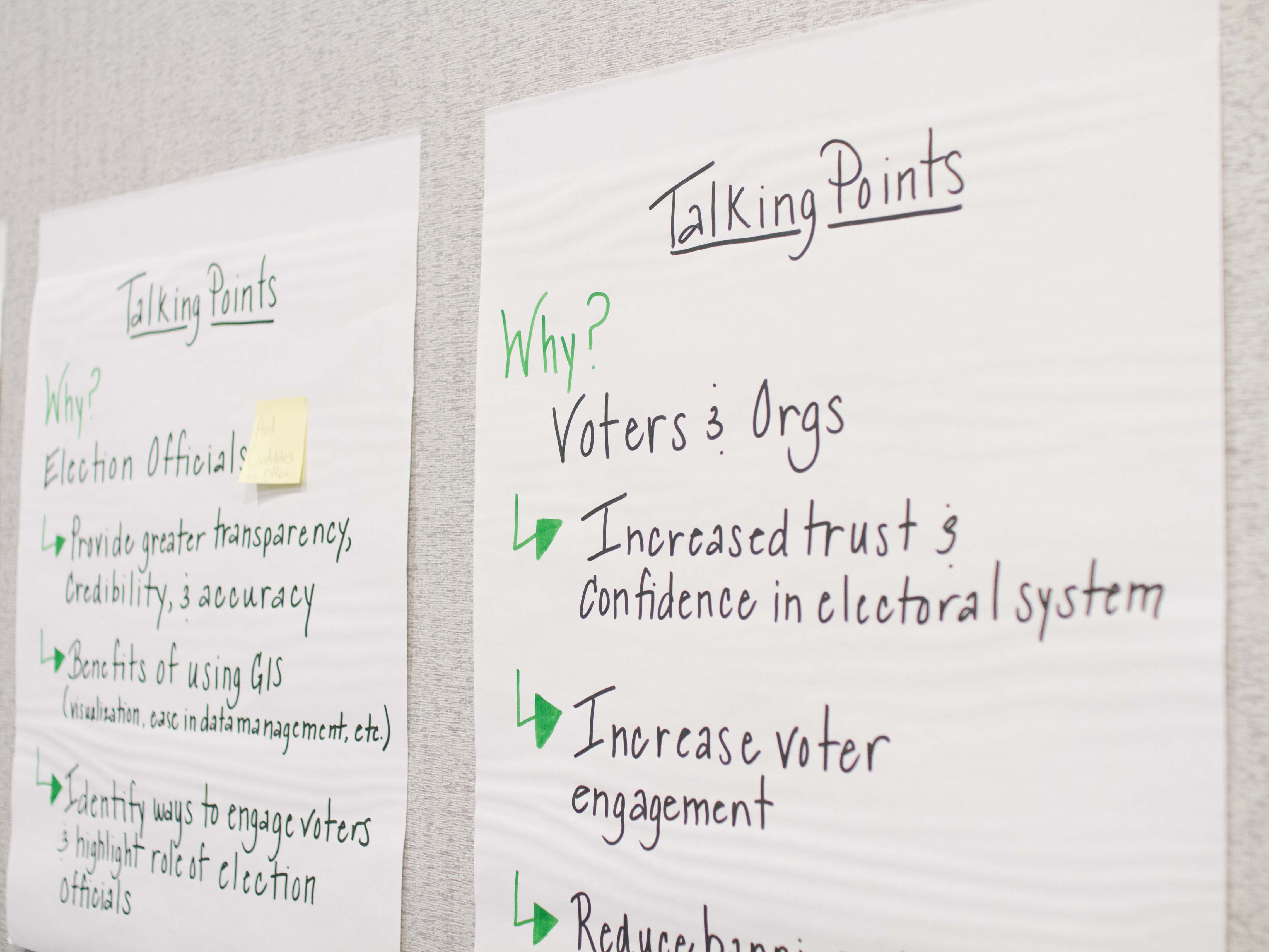
The 13 members of the steering group met for a pre-conference workshop and identified a short list of best-practice areas to position a state for geo-enabling their elections system. These initial items are:
- Statewide precinct layer with an associated maintenance process
- Current statewide address info
- Implementation options that give local control for locating address data
- Standardization of terminology
- System or process where GIS technologies and data are locally sourced and rolled up to the state
- Contextual map data (for example, current aerial photography)

General Workshop
Conference participants were invited to arrive early to attend a pre-conference workshop. The four-hour session included exercises in exploring the current state of GIS within elections systems and case studies through a panel discussion and demonstrations. We looked at what it means to be ready to implement geo-enabled elections and how to implement them with greatest success. The steering group will take back the questions and issues raised during the general workshop to help inform the project's overall approach and next steps.
Plenary Session
Held on the conference's final day, the plenary session provided an introduction to the state of GIS in elections systems and the Geo-Enabled Elections project. The presentation was updated based on the work of the two pre-conference workshops, allowing the project team to tease out issues identified as priority areas earlier in the week. We invited this larger group of participants to become more engaged with the project - see below for more information.
Current Status and Activities
Armed with significant new information and momentum, in the next few months, the steering group will undertake major work to advance the project, including:
- Growing the "circle of advisors" to provide insights and advice on how GIS has been successfully incorporated into elections systems and pitfalls, challenges and opportunities for the Geo-Enabled Elections project
- Completing the survey underway to benchmark the state of geo-enabled elections, with a goal of including the results of 40 states into our analysis
- Undertaking research, development and implementation of a survey of state and local elections officials
- Pinpointing the locations of two pilot projects for 2018
- Capturing and documenting best practice guidance uncovered in discussions with GIS and elections experts
Get Involved
Please stay in touch! Questions or thoughts regarding this project should be directed to NSGIC's geospatial program manager, Jamie Chesser ([email protected]).
Discussion forums
To participate in the discussion forum for this project, sign into your NSGIC account* and navigate Meetings and Programs -> Online Discussion Forums -> Geo-Enabled Elections. You can subscribe to the forum for email updates.
E-lists
To receive updates and event invitations, join our e-list. Log in and then navigate to My NSGIC -> My Features -> E-Lists -> Elections. Toggle the Subscribed and Email Delivery buttons to on. You must have a NSGIC account to participate.*
NOTE: *If you are not a NSGIC member, you can register for a Limited Access Account. This is required to join the e-list and participate in discussion forums.
Steering Group
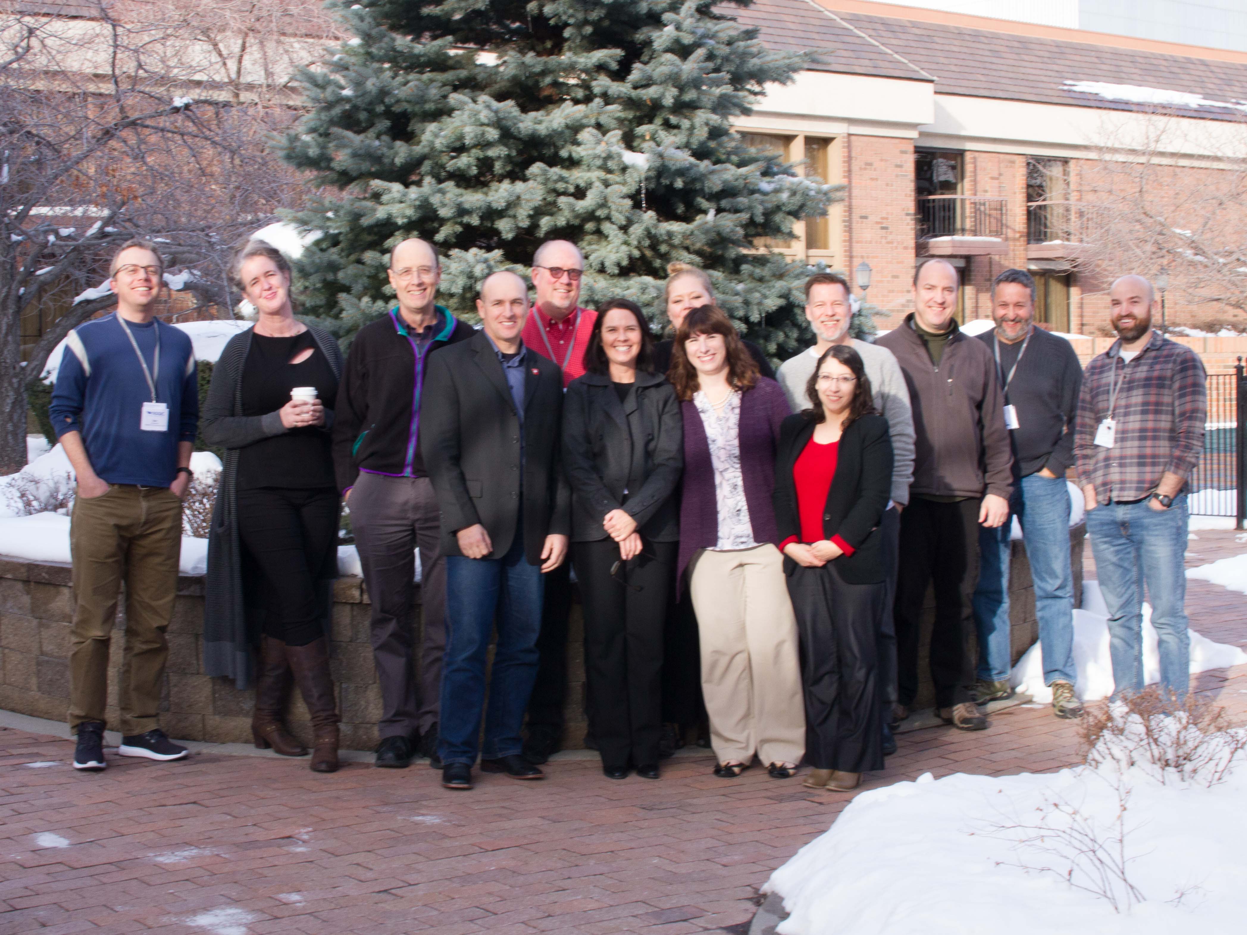
The Geo-Enabled Elections steering group is instrumental to the success of the project. To give an expanded perspective, members of the group include representatives from states with varying degrees of GIS integrated in elections systems.

