 State Spotlight: Florida State Spotlight: Florida
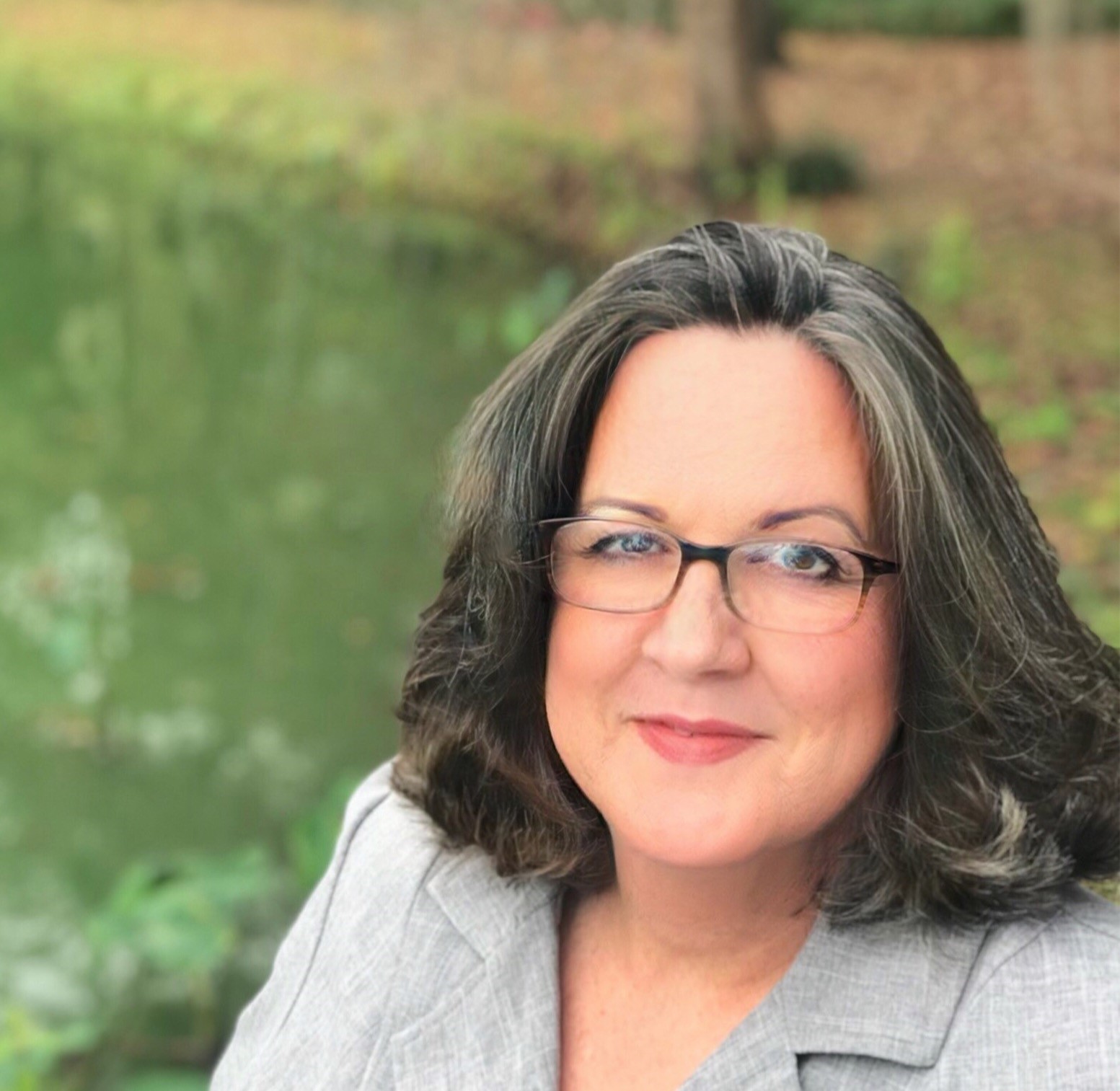
Kimberly Jackson
State Geospatial Information Officer
Interviewed by Richard Butgereit | August 20, 2021
Florida’s legislature created the Florida Geographic Information Office in 2017. After moving the office between departments and a change in personnel, Kimberly Jackson became the Geographic Information Officer in June 2019.
Kimberly had previously served as the Department of Environmental Protection’s GIS Manager for six years before being appointed as the GIO. She has over 30 years’ experience working in GIS. “After returning from a job with the Australian National Parks doing mapping of river systems, I started as a GIS Analyst with the St Johns River Water Management District in 1990,” Kimberly said. “My time in Australia prepared me for field work with the Florida Park Service before my career took a safer turn, indoors.”

Building on the success of GIS programs in emergency management, water management, transportation, and Open Data, Kimberly sees GIS continuing to evolve in the state. “GIS used to be such a fringe technology,” she said. “Now I always chuckle to myself when I hear people from high school students to executive decision makers talking casually about spatial analysis. Spatial data and web maps have gone from a “nice to have” to something that is taken for granted as a foundational part of decision making.”
Florida has always been strong in coordination for elevation and aerial base layers. “Since 1972, Florida Statutes have stipulated cooperation between USGS, FDOT, and the State Water Management Districts to facilitate statewide topographic mapping,” Kimberly explained. “The current mapping efforts consist of statewide orthoimagery coverage of Florida on a three-year cycle, with a maximum GSD resolution of 0.5 feet. After a detailed 2017 LiDAR feasibility assessment, the 2018-2019 state budget provides funding for the FL Division of Emergency Management to undertake a statewide LiDAR project.”
Taking on further challenges, Kimberly foresees recognizing the need for further investment in offshore resources and education as areas of interest for the Geographic Information Office.
“An awareness from all levels of decision makers that we must see Florida as a blend of our terrestrial and offshore resources,” Kimberly said. “This state has an abundance of actionable spatial data for its terrestrial based resources, but we need to improve the data collection for our coastline and offshore areas. In the face of challenges like sea level rise, the Coastal Mapping Initiative (CMI) funded by the 2021 legislature, will provide a recent, high quality topo bathy spatial reference and is a solid step in the right direction. The NSGIC Coastal Caucus has been valuable as well.”
Kimberly names Dr. Tim Hawthorne, an associate professor at the University of Central Florida whose passion is geospatial education as an unsung champion of GIS in the state. “Everyone needs to get to know him,” she says. “His team has built the nation’s first GeoBus™, a mobile STEAM research and education lab on a repurposed 40-foot city bus that provides geospatial technology learning experiences to K-12 youth and teachers in Florida. GeoBus extends the team’s current STEAM education outreach efforts in their Maps, Apps, and Drones Tour which has inspired over 9,000 youth in Central Florida schools since 2017.”

Photo credit: Tyler Copeland
When asked about participating in NSIGC, Kimberly said, “After attending my first NSGIC conference event in the Spring of 2020, I more fully appreciated the benefits of access to Federal program staff, connections in the private sector, and most importantly the wealth of knowledge that is generously shared between NSGIC members. The time savings and improvement in project outcomes generated by incorporating NSGIC resources is priceless.”
“Florida is a geographically large state, but the GIS community is more like a small family. The continued growth of Florida’s regional GIS users’ groups and their ability to draw diverse members from the business, education, and scientific community that had not previously been represented, is inspiring,” she said. “Beyond a doubt the best part of my job is mentoring new members of Florida geospatial community!”
When she takes a break from being with her GIS family, Kimberly and her own family run a small honeybee apiary with a dozen hives. “We are always learning more about mitigating the impacts of hurricanes and local black bears on their wellbeing (and ours),” she said.
Visit the Florida Geographic Information Office at https://www.floridagio.gov for more information.
|