 State Spotlight: Kentucky State Spotlight: Kentucky
Kent Anness
GIS Manager, Kentucky Office of Technology
Interviewed by Sheila Steffenson | April 3, 2019
 Kentucky GIS Manager Kent Anness has been working in GIS for 30 years and state government for 20 years. Anness got his start in cartography and initially used a scribe tool and darkroom methods for producing map compilations. Kentucky GIS Manager Kent Anness has been working in GIS for 30 years and state government for 20 years. Anness got his start in cartography and initially used a scribe tool and darkroom methods for producing map compilations.
Anness says that over the past 20 years, not only has the technology grown, but the accessibility of enterprise GIS has grown as well, allowing for an increased number of users within state government. According to Anness, newer generations see even greater value in the technology.
The biggest success related to GIS in Kentucky, says Anness, is the completion of statewide LiDAR coverage via the KyFromAbove program. He continues to be amazed by the different ways people are using the data, from archaeology to inundation plans, building footprint extraction, highway design and more. The state is working to secure funding from multiple sources to refresh their LiDAR data every six years and their high resolution imagery every three years.
When asked to identify an unsung champion of GIS technology in Kentucky over the past 1-2 years, Anness was quick to recognize both Chuck E. Grindle, Ph.D., Kentucky Chief Information Officer and John Holiday, Executive Director of the Kentucky Office of Homeland Security. Both of these executives have been very supportive.
Anness indicated that “Grindle’s tenure in the U.S. Army in both information technology and field artillery gives him a unique perspective on how geospatial technologies serve a critical role at the enterprise level in state government. His grasp of the importance of having current, high resolution aerial photography and elevation data for the Commonwealth has been key to the recent success of the KyFromAbove program.”
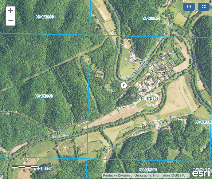
Kentucky Geospatial Data Clearinghouse, KyFromAbove
“Holiday’s military background coupled with his experience within state government has given him a broader understanding of how so many aspects of government have a geospatial component”, says Anness. “He’s worked with leadership to call attention to the Kentucky Commonwealth Office of Technology geospatial operations and is re-incorporating GIS into the KY Fusion Center, that has gone without GIS personnel on staff for nearly a decade.”
Although Grindle and Holiday have been active proponents of incorporating GIS into multiple government agencies business processes, Anness still says that the biggest challenge his program faces is communicating the value of GIS to executive-level leadership. With leadership changing every four years, re-education can be an obstacle and continuity of operations can be compromised.
Anness recognizes that the difficulties in proving the value of GIS exist beyond state-level government. He believes that convincing leadership of the exceptional return on investment with GIS programs is also the biggest challenge for GIS across the country.
Staying current on what other states are doing and how they are overcoming challenges is, according to Anness, the most valuable aspect of NSGIC membership. “It’s also helpful to know that there are resources available and a network in place to reach out to.”
In his free time, Annes enjoys traveling, dirt biking, hiking, and spending time outdoors. He tries to take a month off every summer to spend time out west.
You can learn more about Kentucky’s GIS Operations by visiting the Geospatial Data Clearinghouse.
|

